Portfolio
Real Estate Land
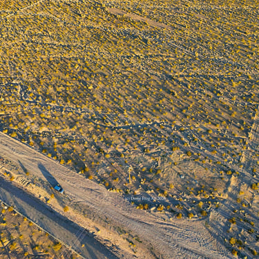
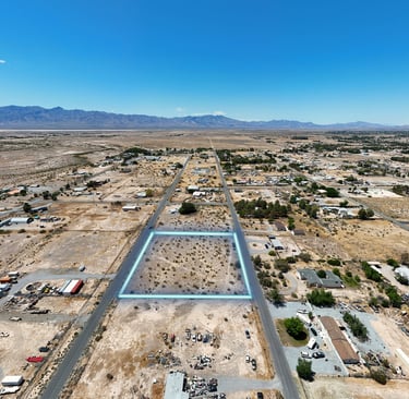
Oblique Orbit of undeveloped property. Surveyor present and mapped aerial markers as ground control points.

Report sample available on request
Property Overview Report

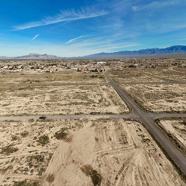
Real Estate Cinematic Aerial Video (with sound) to show property entrance, access and surrounding properties / landscape.
Ortho TIFF image is a georeferenced raster which is used by architects and surveyors in GIS platforms and 3D modeling tools.
Land Marketing Video
2D and 3D Modeling
Cardinal Views

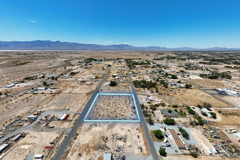
Property Boundaries Visual Overlay
Real Estate Land Marketing

Land Marketing Video
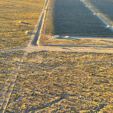
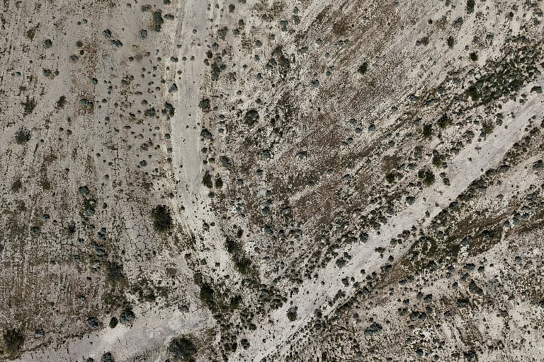
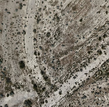
Nadir image


© 2026. Drone Frog Air. All rights reserved.


Follow US

